

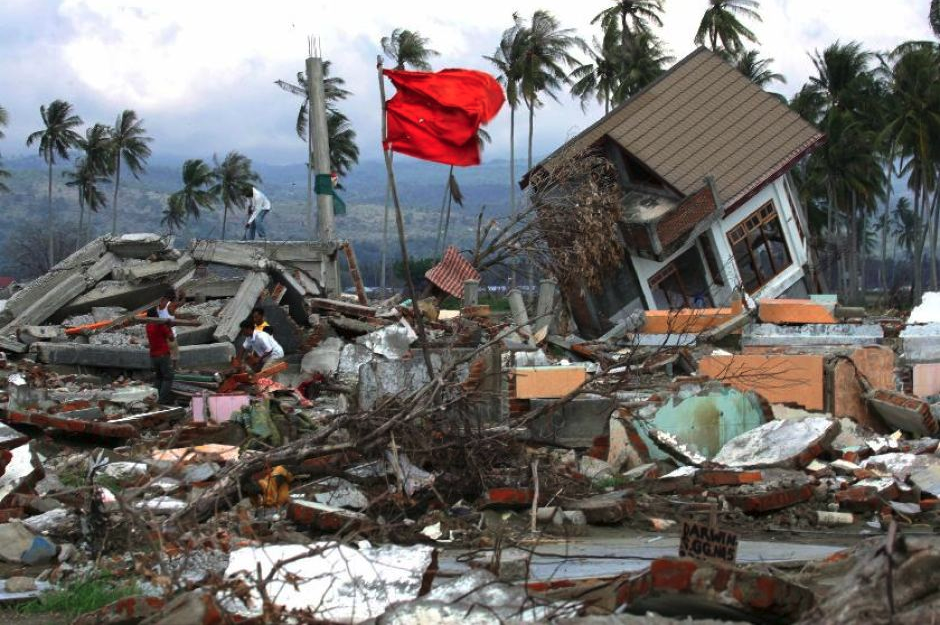
 Damage in Banda Aceh province, 2004. Photo @Steve Crisp
 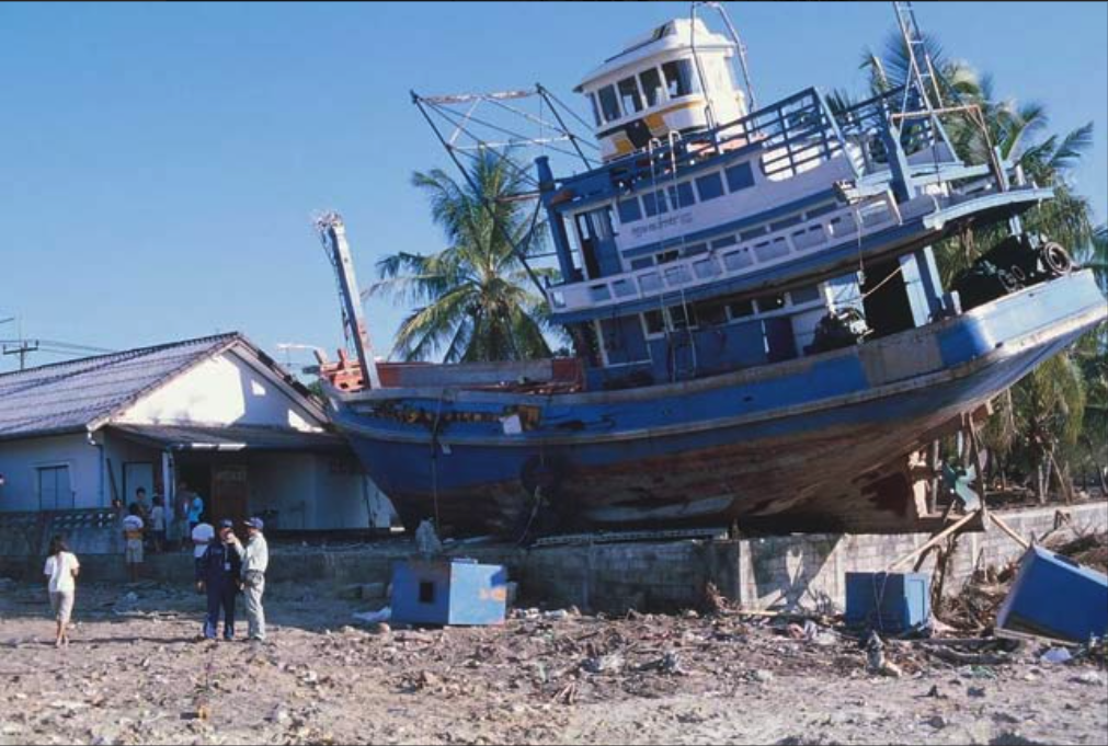 Damage in Thailand, 2004. Fonte UKRI
Seventeen years ago, on December 26, 2004, at 6:58 a.m. (00:58 UTC), in the Banda Aceh region, Indonesia, one of the strongest earthquakes in the 21st century occurred: magnitude 9.2, generated by a fault more than 1000 km long.
Just 20 minutes after the earthquake, a catastrophic tsunami hit the Indonesian coasts, and in the following hours, those of the entire Indian Ocean causing victims and damage even thousands of miles away from the epicenter.
The 2004 tsunami, in fact, reached the Somalia coasts (central-eastern Africa) many hours after the earthquake, causing damage and almost three hundred victims; many others were documented in Kenya, Tanzania and South Africa.
Approximately 230,000 people died and more than 22,000 people went missing.
Tsunamis that produce effects at distances greater than 1000 km from the seismic source, generated by earthquakes of high magnitude, such as the 2004 earthquake, are defined - from the point of view of those who find themselves suffering the effects - "teletsunami". Due to the great distance from the source, the earthquake that generated it cannot be felt by the population before the arrival of the first tsunami wave.
Tsunami waves are faster than any wind-generated wave and, in high seas, can reach up to 700-800 km/hour.
Tsunami warning systems allow effective and timely warning messages to be issued within minutes of the earthquake. Unfortunately, in 2004 there was no warning system for the Indian Ocean.