

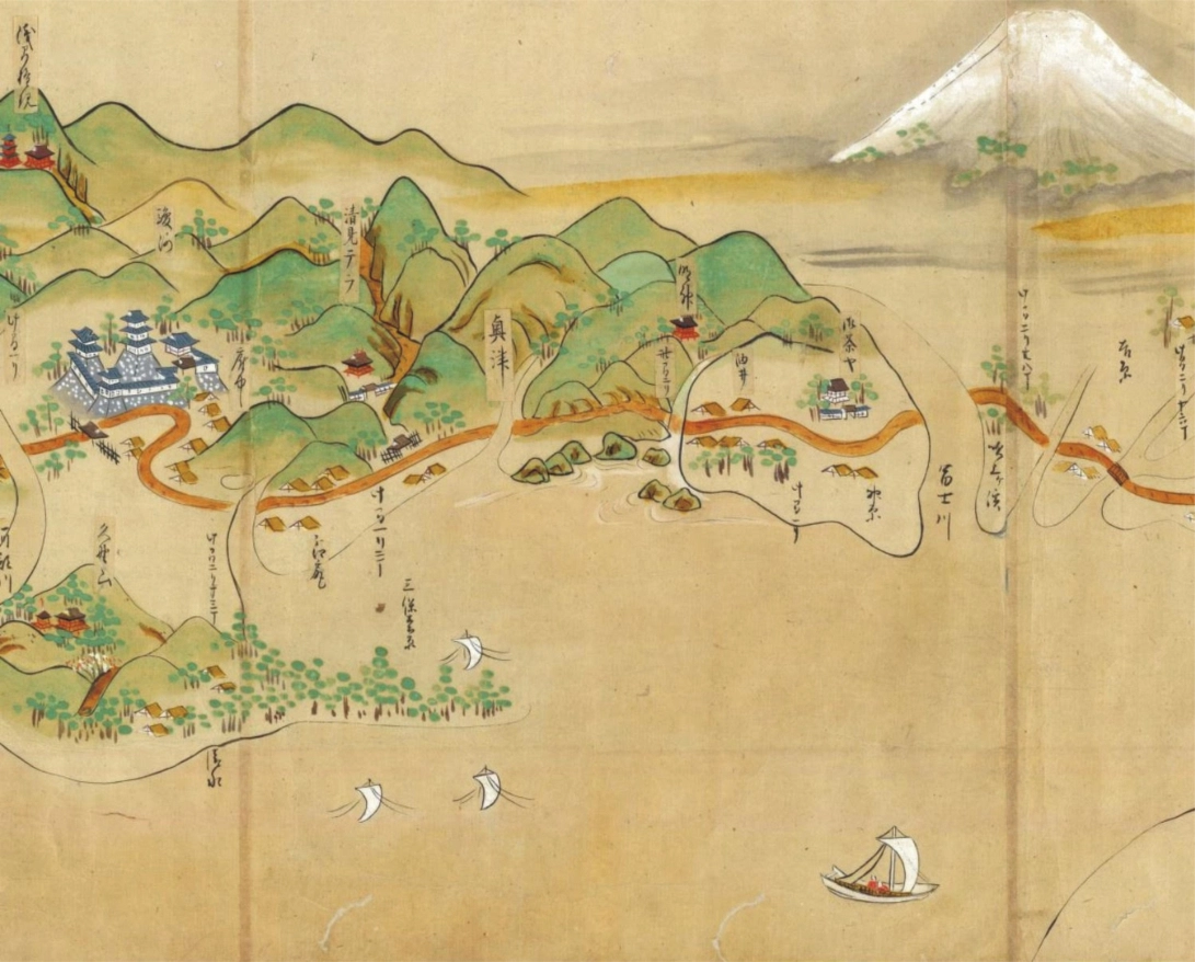
 Orphan earthquake of January 1700: a Japanese map from 1867 of the village of Miho with flooded areas and disrupted roads. Source: Atwater et al., 2015, The orphan tsunami of 1700 - Japanese clues to a parent earthquake in North America, 2nd ed.: Seattle, University of Washington Press, U.S. Geological Survey Professional Paper.
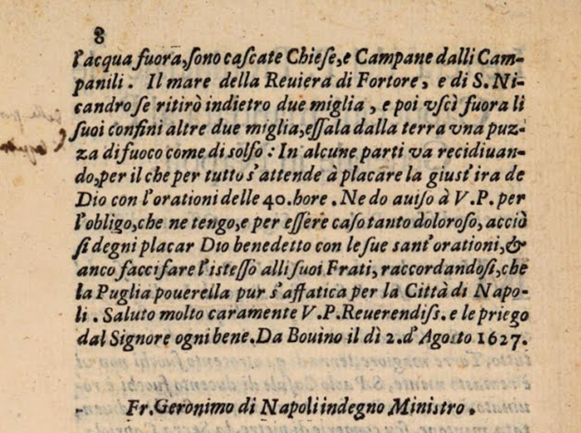 Extract from the Letter of the Father General of the Capuchins to the Father General of Naples on the earthquake and tsunami of the Capitanata of 30 July 1627
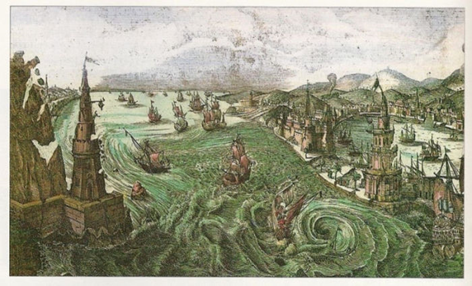 The earthquake and tsunami of Messina in 1783 in a picture of the time
 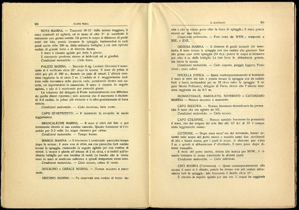 A page from the book by Mario Baratta (1910) La catastrofe sismica Calabro messinese (28 December 1908), with the observations of the tsunami in the province of Reggio Calabria
 Research on seismic sources capable of generating tsunamis is fundamental in order to assess the hazard of a certain area, i.e. to estimate the probability that a phenomenon (tsunami) with certain characteristics will occur within a certain time interval. The estimate of tsunami hazard is the result of a scientific elaboration which integrates the traditional methods of geology with historical research and numerical modelling.
The data concerning tsunamis in the past allow to validate the estimates obtained from modelling and since tsunamis are relatively infrequent phenomena and therefore the historical data available are not abundant, it is essential to extend the investigations to the past through the research of paleo-tsunamis. Paleo-tsunamis are tsunamis which occurred in prehistoric times, so there are no written documents or other evidence. These are identified and studied through the analysis and dating of sediment deposits (sands and large boulders) transported by waves and found on the seabed or in coastal areas. In this way it is not only possible to identify events which occurred in the past, but also to estimate the impact they may have had on the coast.
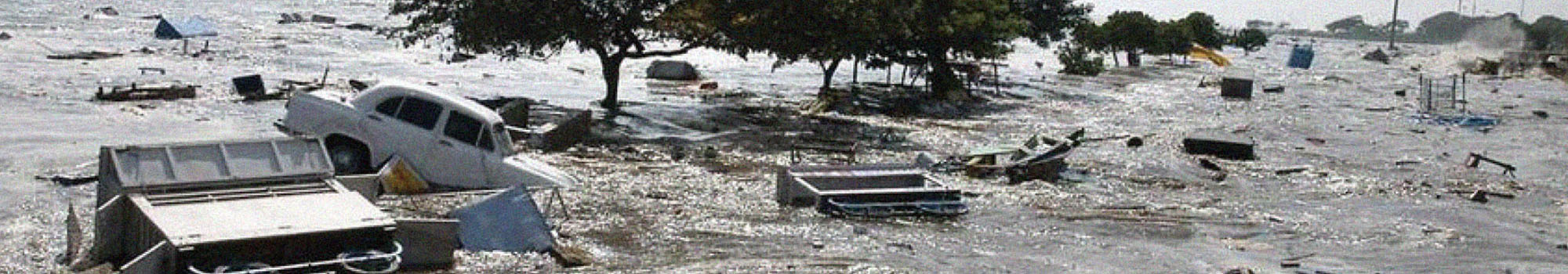
This type of research has been able to explain authentic mysteries, such as the "orphan" tsunami which struck almost a thousand kilometres of the Japanese Pacific coast on 27 or 28 January 1700, without any earthquake having been felt. Through the study of historical documents, geological repositories and numerical modelling, scientists were able to trace its origin, i.e. a large earthquake of an estimated magnitude between 8.7 and 9.2 (similar to the earthquake which generated the Sumatra tsunami of 2004) that occurred on the opposite side of the ocean, along the Cascadia subduction zone, which extends from Southern Canada to Northern California.
Geological research and numerical modelling are flanked by actual historical research, carried out from available historical documents, mainly written texts, such as the numerous Japanese texts concerning this event.
One of the main tools consists in historical catalogues, i.e. collections of observations on natural phenomena such as volcanic eruptions, earthquakes and tsunamis from written historical documents such as books, chronicles, registers, letters and other types of written testimonies. A very important aspect of these studies, which are fundamental for estimating the dangerousness, is the availability of data and their reliability. The analysis of historical data allows to evaluate what kind of phenomena may occur, with what intensity and - where possible - what the average return times are.
For earthquakes, the study of these documents is called historical seismology, and generally refers to periods in which there were no measuring instruments capable of detecting and measuring the physical parameters of certain geophysical phenomena. Seismic parameters (location and intensity) are estimated by assessing the type and extent of documented damage and its geographical distribution.
The more numerous and detailed the observations, the more accurate the estimate of the probability that an earthquake, volcanic eruption or tsunami may occur in a certain area will be. This knowledge enables the development of appropriate and effective risk mitigation measures, such as building regulations for constructing buildings and infrastructures. For engineers, this type of data is essential to design buildings which ensure the safety of those living in them over the lifetime of the structure.
Italy is certainly a country where the historical evidence of these events is particularly abundant and allows to analyse events which took place in the past, going centuries or even millennia back in time. However, this type of study requires particular expertise, as the available texts are not always easy to interpret, let alone do they provide a "quantitative" measurement of the effects of a given phenomenon. For example, in some cases it is very difficult to estimate a posteriori the intensity and location of an earthquake which occurred many centuries ago or to understand whether it was a single shock or a series of shocks that occurred at different times.
The data in the historical catalogues are also characterised by a strong uncertainty, which derives both from the impossibility of exactly quantifying the dimensions of the phenomena and from the difficulty of interpreting correctly what the authors of the texts wrote, attributing a scientific meaning to the latter.
In general, the more numerous and precise the observations, the more "robust" the estimates can be. In the case of tsunamis this work appears particularly difficult, both because of the low frequency of these events (much less numerous than earthquakes) and because of the difficulty of relating the effects on the coast (the big wave) to their causes (the earthquake which triggered it, or in some cases, secondary phenomena such as underwater landslides).
As regards the great earthquake in Crete on 21 July 365 A.D., which unleashed a destructive tsunami with devastating effects throughout the central and eastern Mediterranean, the abundance (and consistency) of the archaeological, geological and historical evidence has allowed a fairly reliable reconstruction, a precise dating of the event and a definition of the spatial extent of the effects of the tsunami on the central and eastern Mediterranean coasts.
The joint use of different techniques, such as the analysis of the coins found in the affected sites, the carbon 14 dating of the finds and, above all, the analysis of historical documents, have allowed us to draw a fairly clear picture of the event.
The historian Ammianus Marcellinus, for example, documents the destruction of Alexandria, while other documents, written by St. Jerome, the historian Socrates of Constantinople and the philosopher Libanius report the destruction throughout the Mediterranean area, from Sicily to Libya to the current coast of Turkey, even documenting the withdrawal of the sea in some areas of the Aegean Sea north of Crete.
Even for the Reggio Calabria and Messina tsunami of 28 December 1908, the most catastrophic event of the last two hundred years in the Mediterranean, although there is detailed documentation of the time, the observations are fragmented and incomplete and make it difficult to have a complete and clear picture of the effects and causes of the event.
Precisely for these reasons, historical research should be flanked, where possible, by geological research, which can make it possible to identify the areas most affected and to seek evidence of how intense it was by studying the sediments transported inland by the tsunami, or by measuring the rise of the rocks in a given stretch of coast to assess the intensity of the phenomenon.